Proto-History of Himachal Pradesh
Proto History of Himachal Pradesh is closely linked with Proto History of South Asia. It…
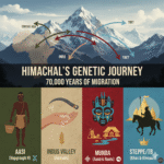
Proto History of Himachal Pradesh is closely linked with Proto History of South Asia. It…
Himachal Pradesh is a religious diverse state. Its mountain and villages host number of Devi…
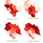
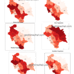
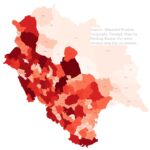
Himachal Pradesh has very young Population. The shape of Population pyramid is wider at the…
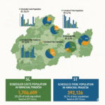
Below is the Table of Population: Cenus 2011. Schedule Caste and Tribe , Himachal Pradesh…
Keywords: HP Population, HPAS, HP Allied, Census of Himachal Pradesh. Population dispersal is complex Phenomena…