Keywords: HP Population, HPAS, HP Allied, Census of Himachal Pradesh.
Population dispersal is complex Phenomena controlled by numbers of facotors like climate, geography, economy and culture. Below mention maps will provide spatial understanding how human occupied the terrain. These maps are meant to Watch, Observe and understand. Such map understanding will help to solve many complex queries.
A) Population Settlement and Altitude.
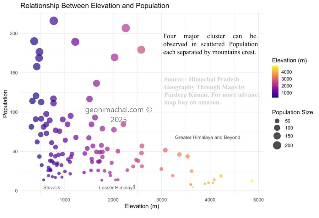
Discussion: In Himachal Pradesh, elevation strongly influences population distribution and settlement patterns. Most densely populated areas lie between 600 m and 1,800 m, where moderate slopes, fertile valleys, and favorable climate support agriculture and habitation. Towns such as Shimla, Dharamshala, and Mandi reflect this mid-altitude preference.
At elevations above 2,500 m, settlements become sparse due to harsh climate, shorter growing seasons, and limited accessibility. Only small hamlets and pastoral communities exist, often relying on seasonal migration. In contrast, areas below 500 m, such as parts of Una and Kangra districts, support higher population densities due to better connectivity and agricultural potential, though they experience hotter conditions.
Thus, elevation creates a clear gradient—from dense, permanent settlements in mid-altitude valleys to scattered, seasonal or nomadic habitations in high-altitude zones—demonstrating how physiography shapes human geography in the region.
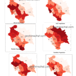
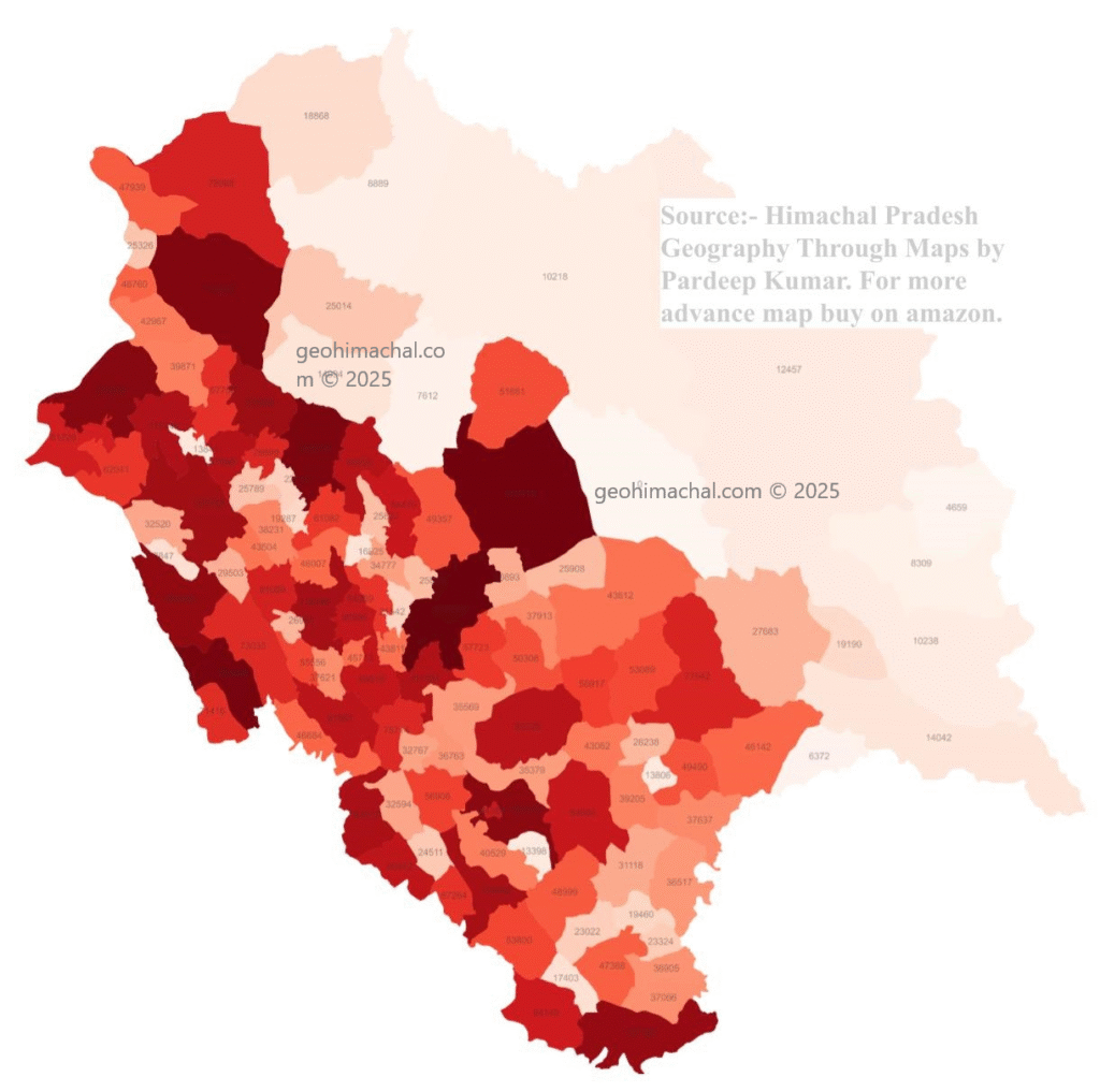
B) Population Dispersal Map of Himachal Pradesh
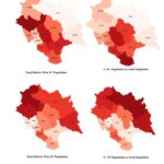
C) Population Settlement with National Highways in background
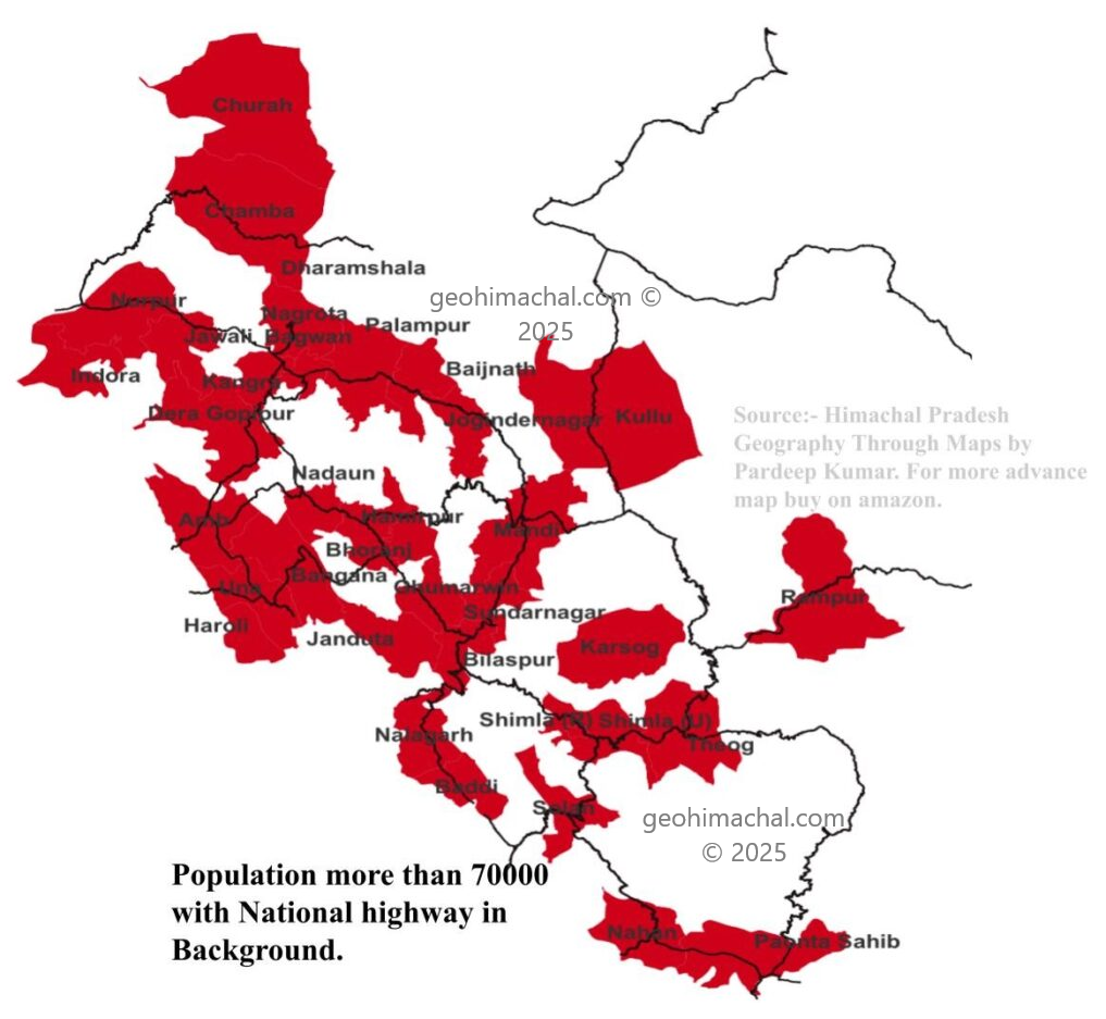
Discussion:- Map show differnet cluster of Population merging with each other. Developement porjects like highways create crticial role in Population dispersal.